Specs
General |
|
| Dimension | 12.1” x 8.9” x 3.2” (30.8 x 22.8 x 8.2 cm) |
|---|---|
| Touchscreen | |
| Input | Touchscreen |
| Display Size | 10.3″ x 6.4″; 12.1″ diagonal
(26.2 x 16.3 cm; 30.7 cm diagonal) |
| Display Resolution | 1280 x 800 pixels |
| Display Type | WXGA |
| Weight | 6.6 lbs. (3.0 kg) |
| Waterproof | IPX7 |
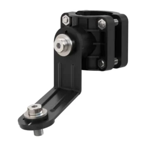
| Mounting Options | Bail, flush or flat (Garmin does not offer any hardware or accessories for a flat-mount installation. Professional tools and knowledge is required.) |
Maps & Memory |
|
| Accepts Data Cards | 2 microSD™ cards (back of unit) |
|---|---|
| Waypoints | 5,000 |
| Track points | 50,000 |
| Tracks | 50 saved tracks |
| Navigation Routes | 100 |
Sensors |
|
| Has built-in receiver | ✔ |
|---|---|
| Receiver | 10 Hz |
| NMEA 2000 Compatible | ✔ |
| NMEA 0183 Compatible | ✔ |
| GPS | ✔ |
| GLONASS | ✔ |
| Galileo | ✔ |
| Supports WAAS | ✔ |
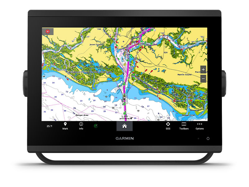
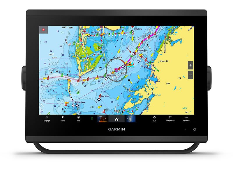
Built-in maps |
|
| Built-in Auto Guidance+ | |
|---|---|
| Garmin Navionics+ Inland & Coastal | |
| Tide tables | |
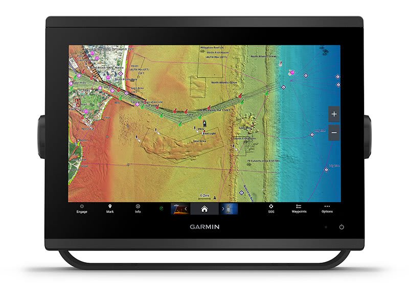
Optional map support |
|
| Garmin Navionics+™ | ✔ |
|---|---|
| Garmin Navionics Vision+™ | ✔ |
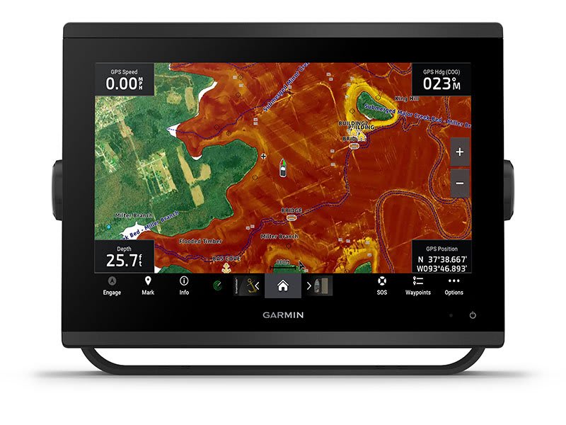
| TOPO | ✔ |
| Standard Mapping | ✔ |
| Garmin Quickdraw Contours | ✔ |
| Raster chart support | ✔ |
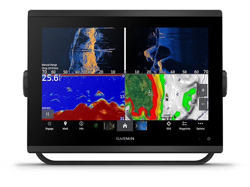
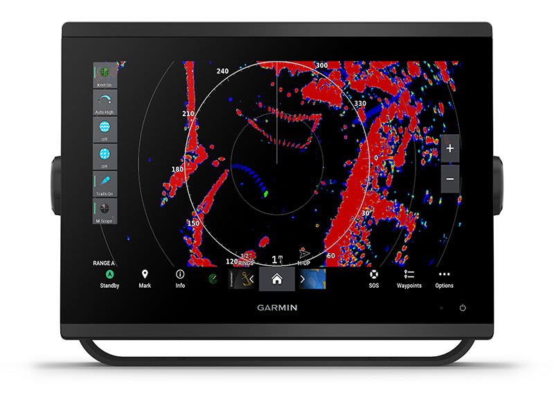
Chartplotter Features |
|
| Smart Mode Compatible | ✔ |
|---|---|
| AIS | ✔ |
| DSC | ✔ |
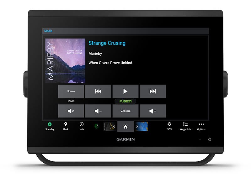
| Supports Fusion-Link™ compatible radios | ✔ |
| GSD Black Box Sonar Support | ✔ |
| GCV Black Box Sonar Support | ✔ |
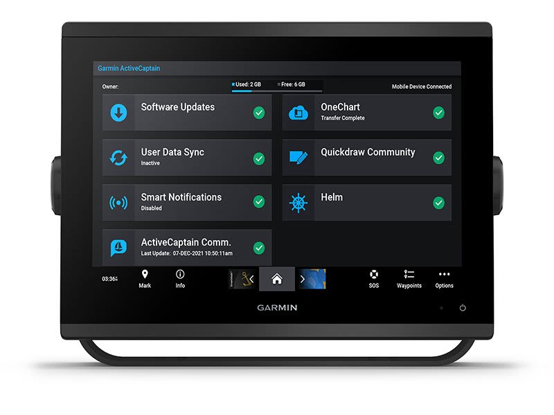
| ActiveCaptain Mobile Planning Compatible | yes |
| GRID (Garmin Remote Input Device) compatible | ✔ |
| Wireless Remote Compatible | ✔ |
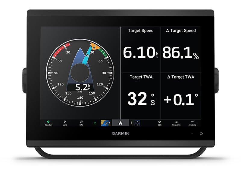
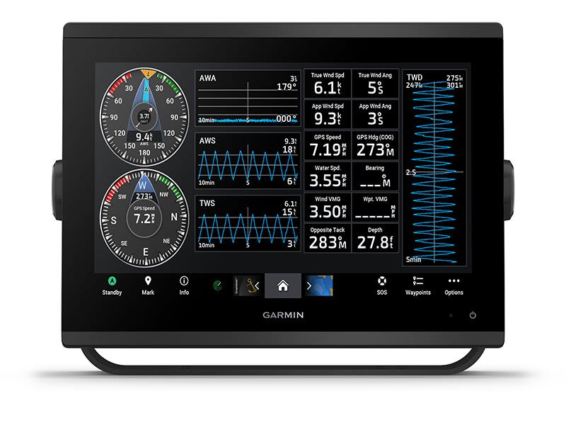
| Sailing Features | ✔ |
| Spoken audio alerts | ✔ |
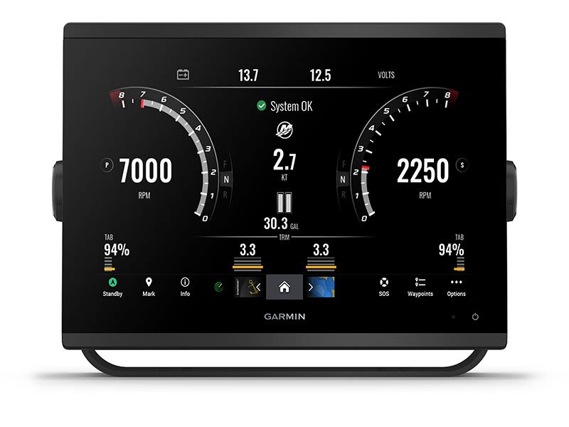
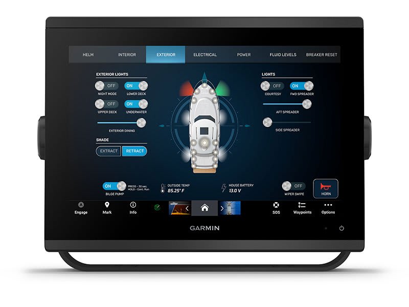
| OneHelm support | ✔ |
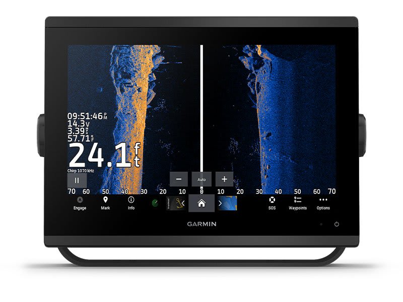
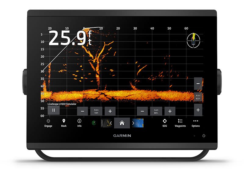
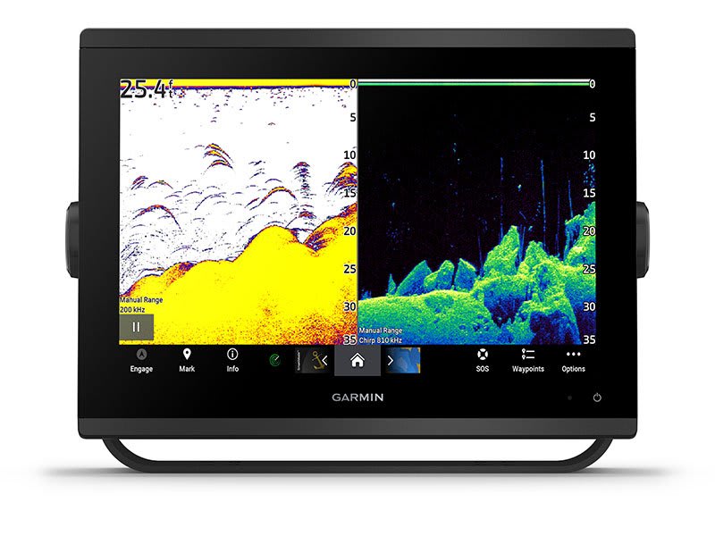
Sonar Features & Specifications |
|
| Displays sonar | ✔ |
|---|---|
| Power output | 1 kW |
| Traditional sonar (dual frequency/beam) | built-in (single channel CHIRP, 70/83/200 kHz, L, M, H CHIRP) |
| ClearVü | built-in 260/455/800/1000/1200 kHz |
| SideVü | built-in 260/455/800/1000/1200 kHz |
| Panoptix™ sonar | ✔ |
| LiveScope | ✔ |
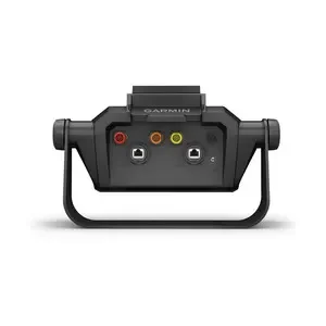
Connections |
|
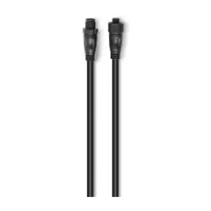
| NMEA 2000 ports | 1 |
|---|---|
| Connections NMEA0183 Input Ports | 1 |
| NMEA 0183 input (Tx) ports | 1 |
| Video input ports | 1 (BNC composite); 1 HDMI (HDCP compliant) |
| Video output ports | 1 HDMI |
| J1939 ports | 1 |
| Garmin Marine Network Ports | 2 |
| 12-pin transducer ports | 1 |
| USB ports | ✔ |
| BNC external GPS antenna port | ✔ |
| BLUETOOTH® pairing | ✔ |
| ANT+ (Connectivity) | ✔ |
| Garmin Wi-Fi network (local connection) | ✔ |
Electrical features |
|
| Power Input | 10 to 32 Vdc |
|---|---|
| Typical current draw at 12 Vdc | 1.68 A |
| Maximum current draw at 12 Vdc | 3.56 A |
| Maximum power usage at 10 Vdc | 43.0W |