Navigating the vast and diverse waters of Australia requires precision and reliable marine technology. With a rich coastline and abundant waterways, boaters and fishermen need a dependable navigation tool to ensure safety and enhance their experience. The Garmin Marine GPSMAP 1253xsv chartplotter emerges as a top-tier option, combining cutting-edge technology with a user-friendly interface. In this article, we will delve into the features and benefits of this remarkable chartplotter specifically tailored for Australian waters.
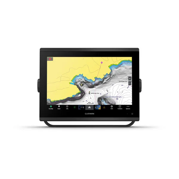
At the heart of the Garmin Marine GPSMAP 1253xsv lies its impressive 12-inch HD display. With vivid colors and exceptional clarity, the chartplotter provides users with a detailed view of Australian coastal maps, harbors, and waterways. The intuitive touchscreen interface ensures effortless navigation through menus and functions, allowing users to focus on their journey rather than complicated controls.
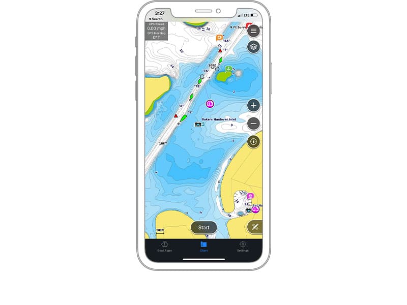
One of the standout features of the Garmin Marine GPSMAP 1253xsv is its extensive chartplotting capabilities. Preloaded with Garmin BlueChart g3 coastal charts, it provides detailed coverage of the Australian coastline, including major ports, marinas, and navigational aids. Furthermore, the device is compatible with optional mapping upgrades like Navionics Vision+ and LakeVü g3, enhancing its versatility for both offshore and inland excursions.
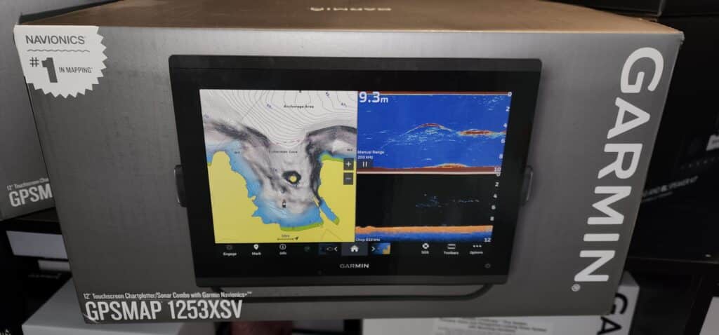
For avid anglers, the Garmin Marine GPSMAP 1253xsv chartplotter presents a game-changing advantage. Equipped with built-in CHIRP traditional and ClearVü/SideVü scanning sonar, it allows users to locate and track fish with remarkable precision. The advanced sonar technology provides high-resolution images of the underwater terrain, revealing structures, drop-offs, and even fish arches. By identifying potential hotspots and fish concentrations, anglers can optimize their fishing strategies and improve their catch rate.
The Garmin Marine GPSMAP 1253xsv chartplotter offers seamless integration with other Garmin devices, enabling a comprehensive marine network on board. With NMEA 2000 and NMEA 0183 compatibility, users can connect to various sensors, instruments, and autopilots, creating a fully integrated navigation system. This allows for data sharing, such as depth, temperature, and wind information, enhancing situational awareness and providing a holistic view of the marine environment.
In addition to its exceptional chartplotting capabilities, the Garmin Marine GPSMAP 1253xsv is packed with advanced navigation features tailored for Australian waters. It includes ActiveCaptain compatibility, which provides access to the ActiveCaptain community, enabling users to download and share up-to-date information on marinas, anchorages, and local points of interest. Moreover, the device incorporates Garmin’s Quickdraw Contours software, allowing users to create custom fishing maps with one-foot contours, further enhancing their understanding of the underwater topography.
The safety of boaters and sailors is paramount, and the Garmin Marine GPSMAP 1253xsv takes this aspect seriously. By utilizing an internet connection, users can access real-time weather information, including weather radar, forecasts, and storm tracking. This invaluable feature empowers users to make informed decisions, avoid inclement weather, and ensure their safety on the water.
Setting up and maintaining the Garmin Marine GPSMAP 1253xsv is hassle-free and when you purchase through Rob at Sunshine Coast Marine Electrical Doctor you have the added support of a professional just a phone call away. The device includes built-in Wi-Fi connectivity, allowing users to easily connect to the Garmin Connect mobile app for data transfer, software updates, and access to the Garmin Quickdraw Community. These functionalities ensure that users always have the latest charts, software enhancements, and other valuable updates.
The Garmin Marine GPSMAPS 1253xsv chartplotter stands as a powerful and reliable tool for navigating the Australian waters. With its high-definition display, comprehensive chartplotting capabilities, advanced sonar technology, and seamless integration options, it empowers boaters and fishermen to explore with confidence. From coastal cruising to offshore fishing adventures, this chartplotter provides the necessary tools to enhance safety, increase efficiency, and make the most of the diverse marine environment in Australia.
If you would like to know more about this Garmin Marine product contact Rob on 0427 590 995 or head to our website at www.scmarinedoc.com.au


If you would like to follow Tommy you can through Facebook Instagram YouTube Tommy has arrived in the USA and is ready to give the

The #ABT 2024 Zerek BARRA Series comes to an end. This is Team Samaki‘s 3rd year of Tommy Wood and Josh Lowry competing together. It

All-seeing live sonar from Garmin is the most unique and innovative sonar on the water. This state-of-the-art sonar technology gives you the ability to see
Have any questions relating to your GARMIN Marine products, then join our private Facebook group. GARMIN Qld users. This is a great place to meet other GARMIN users, ask questions, or see what others are achieving with their GARMIN products. See a range of products, such as GPS systems, scanners, transducers, force trolling motors, fusion products, radars and radios. Keep up with the latest technology and Garmin products.